Data Capture &
Rendering Software
Highly recommended drone software solutions
Data Capture and Collection
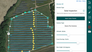
Hammer Missions
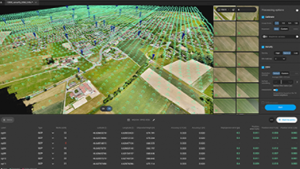
Comprehensive Data Capture Software with a monthly subscription and online hub. Produces high quality photo datasets and has lots of different inspection types.
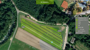
Pix4D Capture
Pix4D’s capture software, links into Pix4D’s ecosystem of photogrammetry applications, free to capture simple datasets.
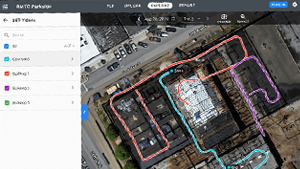
Drone Deploy
Interior and exterior visual data – any altitude, any angle, all in one platform.
Photogrammetry
Pix4D
Produces some of the best point clouds from Photos – Viable across a number of industries and operation types, from volumetric measurement, Digital Twin creation and 2D/3D Models.
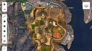
Maps Made Easy
Upto 20 time better than Google Maps, innovative points-based pricing structure, where images up to 1 Gigapixel are processed for free.
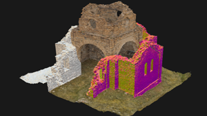
Reality Capture
Reality Capture has been bought by Epic Games, it is a market leading photogrammetry suite that also caters for laser (LIDAR) scans. Creation of realistic assets and 3D models from unordered photos is one of its many abilities.
GIS – Geo Spatial information Systems
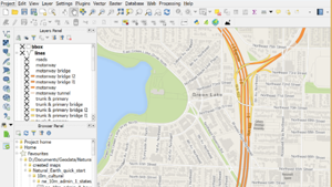
QGIS
Free and open-source GIS Software enabling database construction of map images.
ARC GIS
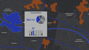
Powerful software suite for compiling geographic data and analysing mapped information, powerful database structure applicable for a range of applications.
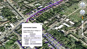
Small World
Specialises in Geospatial Asset Management, Digital Twins and reducing data modelling and productivity costs.