

Unitree Mid360 Lidar
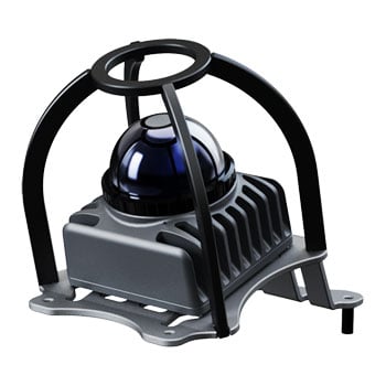
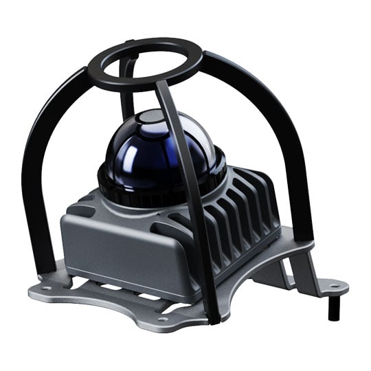
Enhance the navigation and environmental perception capabilities of your compatible Unitree robotic platform with the Unitree MID360 LiDAR. Designed for seamless integration with Unitree robots, the MID360 delivers high-density 3D point cloud data that enables accurate real-time mapping, localisation and obstacle detection for autonomous operation. Featuring a 905nm Class 1 eye-safe laser, 360° horizontal scanning and a wide -7° to 52° vertical field of view, it captures a comprehensive view of the surrounding environment while supporting advanced LiDAR SLAM algorithms for reliable navigation in dynamic indoor and outdoor environments. With a compact, lightweight design, integrated IMU, high-speed point cloud output of up to 200,000 points per second and an IP67-rated enclosure, the Unitree MID360 is an ideal sensing upgrade for compatible Unitree robots used in research, development, inspection and autonomous robotics applications.
• Designed for compatible Unitree robotic platforms
• 905nm Class 1 eye-safe laser
• 360° horizontal field of view
• -7° to 52° vertical field of view
• Up to 200,000 points per second point cloud output
• Supports LiDAR SLAM, mapping and localisation
• High-precision obstacle detection and environmental perception
• Built-in IMU for enhanced motion tracking
• Up to 70m detection range (80% reflectivity)
• Range accuracy of up to ±2cm
• 10Hz point cloud frame rate
• 100 BASE-TX Ethernet interface
• IEEE 1588 (PTPv2) and GPS time synchronisation
• IP67-rated dust and water resistance
• Compact 65 × 65 × 60mm form factor
• Lightweight 265g design
• Suitable for autonomous navigation on compatible Unitree robots