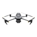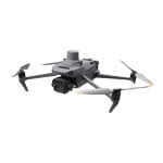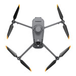

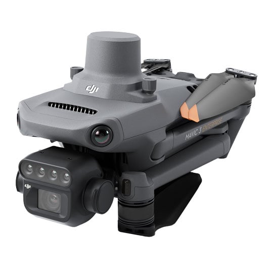


DJI - 'Mavic 3 Multispectral'

See More, Work SmarterEffective aerial surveying needs to see the invisible. That’s why DJI Mavic 3 Multispectral has two forms of sight, combining a newly upgraded 20MP RGB camera with four 5MP multispectral cameras enabling high-precision aerial surveying, crop growth monitoring, and natural resource surveys. Agricultural production management requires precision and data, and Mavic 3M delivers both.
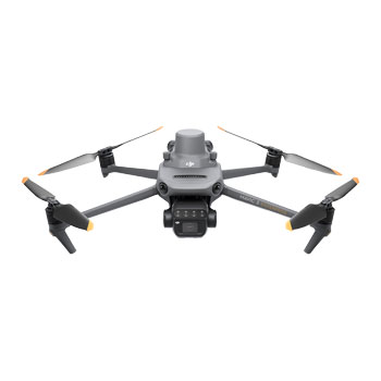
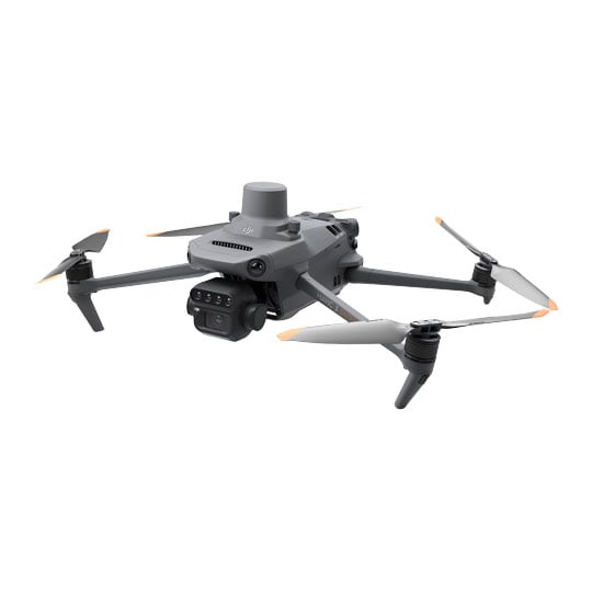
Compact and Portablefoldable for easy storage
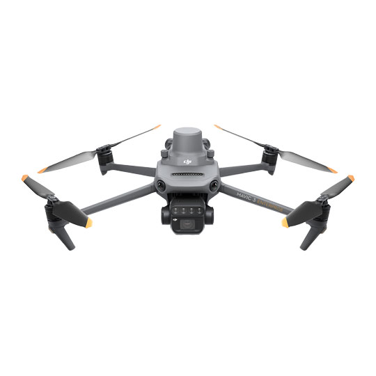
Multispectral camera4x 5MP G/R/RE/NIR
RGB Camera20MP 4/3CMOS, Mechanical Shutter
Safe and StableOmnidirectional Obstacle Avoidance [1] 15km Transmission Distance [2]
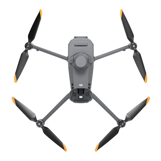
Precise PositioningCentimeter-level RTK positioning Microsecond-level time synchronization
Efficient Aerial SurveyingUp to 200 hectares per flight [3]
Multispectral + RGB Imaging System

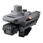
Highy integrated imaging systemNewly upgraded imaging system with one 20MP RGB camera and four 5MP multispectral cameras (green, red, red edge, and near infrared). Enables applications such as high-precision aerial surveying, crop growth monitoring, and natural resource surveys.
Multispectral Cameras


Near-Infrared (NIR)860 nm ± 26 nm

Red (R)650 nm ± 16 nm

Red Edge (RE)730 nm ± 16 nm

Green (G)560 nm ± 16 nm
RGB Camera
4/3 CMOS20MP Image Sensor
1/2000sFaster mechanical Shutter speed
0.7sHigh-speed burst when RGB camera is used

Sunlight SensorThe built-in sunlight sensor captures solar irradiance and records it in an image file, allowing for light compensation of image data during 2D reconstruction. This results in more accurate NDVI results, as well as improved accuracy and consistency of data acquired over time.

RTK Module

Accurate images that capture every pixelMavic 3M with RTK module for centimetre-level positioning. Flight control, the camera, and the RTK module sync in microseconds to accurately capture the location of each camera's imaging centre. This enables Mavic 3M to do high-precision aerial surveying without using ground control points.
Efficient and Reliable Battery Life

ultra-long battery life, fast bursts
43 Minutes [4]Cruise time
200 hectare [3]A single flight can complete mapping operations over an area of 200 hectares.
Fast Charging

100W Battery Charging HubHigh-efficiency fast charging
88W fast chargingAircraft
O3 Transmission

Stable signal, smooth image transmisionThe O3 transmission integrates two transmitting signals and four receiving signals to support 15km ultra-long transmission distances.
Omnidirectional Obstacle Sensing
Omnidirectional obstacle sensing [1], terrain-follow aerial surveyingThe aircraft features multiple wide-FOV vision sensors that accurately detect obstacles in all directions for omnidirectional obstacle avoidance. The terrain-follow aerial surveying can be easily performed in steep-slope landscapes.

Applications
Orchard mappingMavic 3M allows terrain-follow aerial surveying of orchards, even on sloped landscapes. Together with DJI Terra or DJI SmartFarm Platform [6] to reconstruct high-resolution orchard maps, automatically identify the number of trees, distinguish trees from other obstacles or objects, and generate three-dimensional operation routes for agricultural drones, making operations safer and more efficient.


Guide Variable Rate ApplicationsFor rice fertilization, cotton growth regulation, and potato foliar fertilizer spraying, the Mavic 3M is used to obtain multi-spectral images of crops. DJI Terra or the DJI SmartFarm Platform [6] can then generate NDVI and other vegetation indices maps, capturing differences in crop potential and generating prescription maps that allow agricultural drones to execute variable-rate application. This ultimately allows users to reduce costs, increase yield, and protect the environment.


O3 Transmission

Intelligent Field ScoutingThe Mavic 3M can carry out automatic field scouting. The field scout images can be uploaded to the DJI SmartFarm Platform [6] in real time through a 4G network. It can find abnormalities, such as emergence deficiencies, weed pressure, and crop lodging in a timely manner. It can also conduct intelligent analyses, such as cotton seedling identification and rice production testing, using AI identification for real-time sharing of crop growth information, guidance of agronomic activities, and easy management of 70 hectares of farmland by one person.
Environmental Monitoring and Natural Resources SurveyThe Mavic 3M can also be used in environment and natural resource surveys, such as water enrichment monitoring, forest distribution surveys, urban green area surveys, and more.


Open Ecosystem
Cloud APIThe Mavic 3M can be directly connected to a third-party cloud platform via Pilot 2's built-in DJI Cloud API based on the MQTT protocol. There is no need to develop an app separately to enable the transmission of UAV equipment information, live streaming, photo data, and other information.
MSDKThe Mavic 3M supports Mobile SDK 5 (MSDK5) with a fully open-source production code sample. The MSDK5 makes it possible to develop a proprietary control app for UAV field patrol, smart surveying, and other scenarios, making it more user-friendly.
Drone Laws, Training and Limitations
Registration RequiredRegister via the CAA website. If you have already registered it is mandatory to attach your Operator ID to your UAS/Drone.
LimitationsCAA Limitation for all UAS/Drones flights in UK Airspace Max Operating Height 120m/400ft and Maximum Operating Distance of 500m/visual line of site.
Additional InformationFor more information about Drone Rules & Requirements please read HERE or contact Scan Pro Video for further information on Training Requirements.
1. DO NOT fly in severe weather conditions, such as in strong winds (wind speeds of 12 m/s or more), snow, rain, or lightning. DO NOT fly in areas that are 6,000 meters or higher above sea level. DO NOT fly the aircraft in environments where the temperature is below -10° C (14° F) or above 40° C (104° F). DO NOT take off from moving objects, such as cars and ships. DO NOT fly close to reflective surfaces, such as water or snow. Otherwise, the vision positioning system may not work properly. When the GNSS signal is weak, fly the aircraft in environments with good lighting and visibility. The vision system may not work properly in poor light conditions. Be aware of flight safety when flying near sources of electromagnetic interference. Common sources of electromagnetic interference include high-voltage power lines, high-voltage transmission stations, radar stations, cell phone base stations, broadcast towers, Wi-Fi hotspots, routers, and Bluetooth devices.
2. The 15km transmission distance can only be achieved under the FCC standard when measured in an outdoor environment without interference. THE CE standard is adopted in Europe, and the furthest transmission distance is 8km. The SRRC standard is adopted in mainland China, and the furthest transmission distance is 8 km. The above data are the furthest communication distances for one-way, non-return flights under each standard. Please pay attention to return prompts in the DJI Pilot 2 app during flight.
3. Specific test conditions: In a sunny environment without wind, the orthographic flight aerial photography is obtained with a flight speed of 15 m/s, a flight altitude of 217 m, a ground sampling distance (GSD) of 5.73 cm for visible and 10 cm for multispectral, a fore-and-aft overlap rate of 70%, and a side overlap rate of 60%.
4. Data was measured using a DJI Mavic 3M flying at a constant speed of 36 kph at sea level in a windless environment until 0% power remained. It is for reference only. Please pay attention to Return to Home prompts on the DJI Pilot 2 app during flight.
5. Optional accessories. This service is not available in some countries. Please consult your local distributor for details. Do not install the DJI Cellular module when using a multispectral camera to capture data, in order to avoid blocking the intensity sensor.
6. The DJI Smart Agricultural Platform will be supported in Q2 of 2023. This service is not available in some countries. Please consult your local distributor for details.