Types of Drones
Drone prices vary from affordable beginner models to premium commercial rigs. Trusted brands include DJI and Autel Robotics each offering different strengths tailored to user levels and purposes.
FPV Drones
Highly agile drones flown from the pilot’s perspective using goggles. Known for immersive flight experiences with fast speeds and precision control, ideal for racing and freestyle flying.
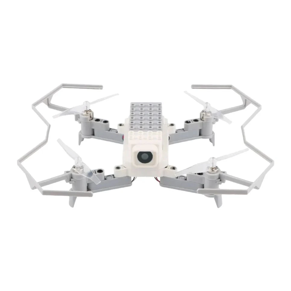
Training Drones
Entry-level models with basic controls and limited flight time, great for learning and casual flying.
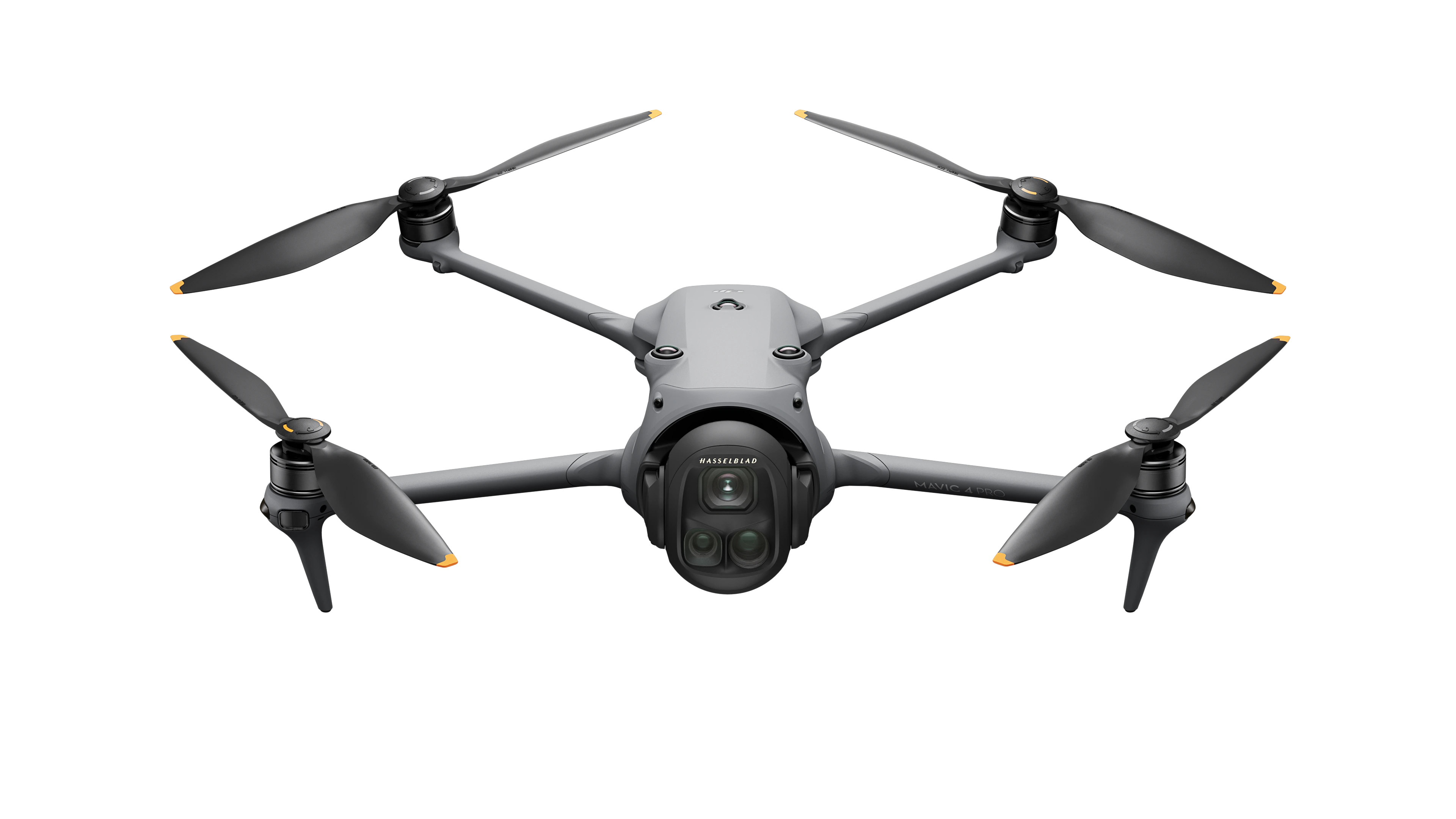
Professional Drones
High-end systems used in filmmaking, industrial inspection, or mapping. They feature large sensors, multiple payload options, and extended flight capabilities.
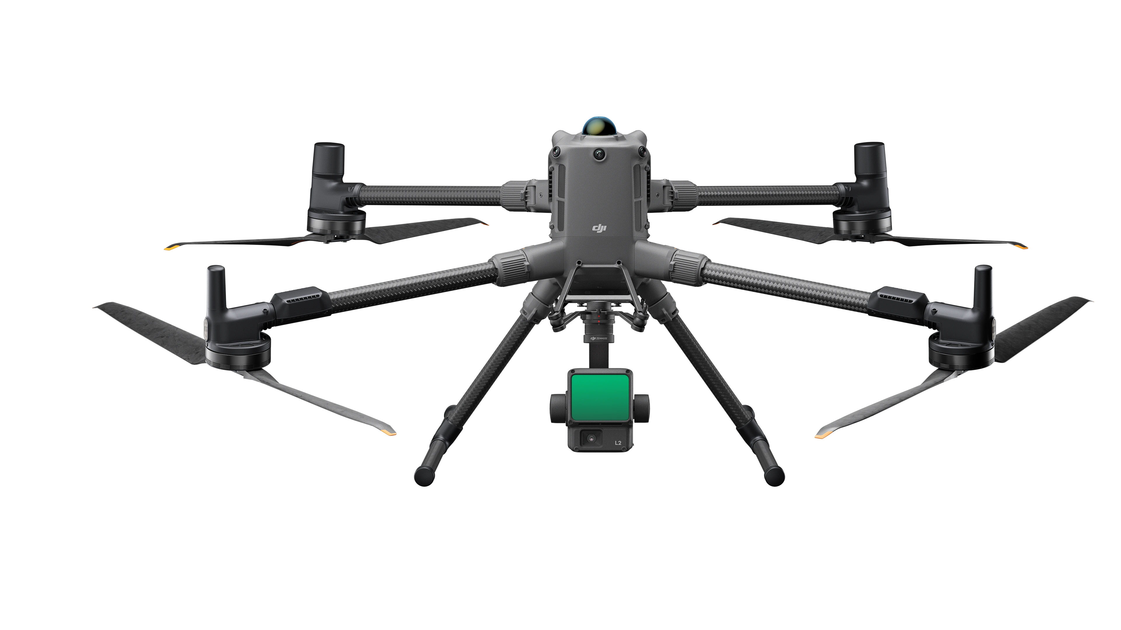
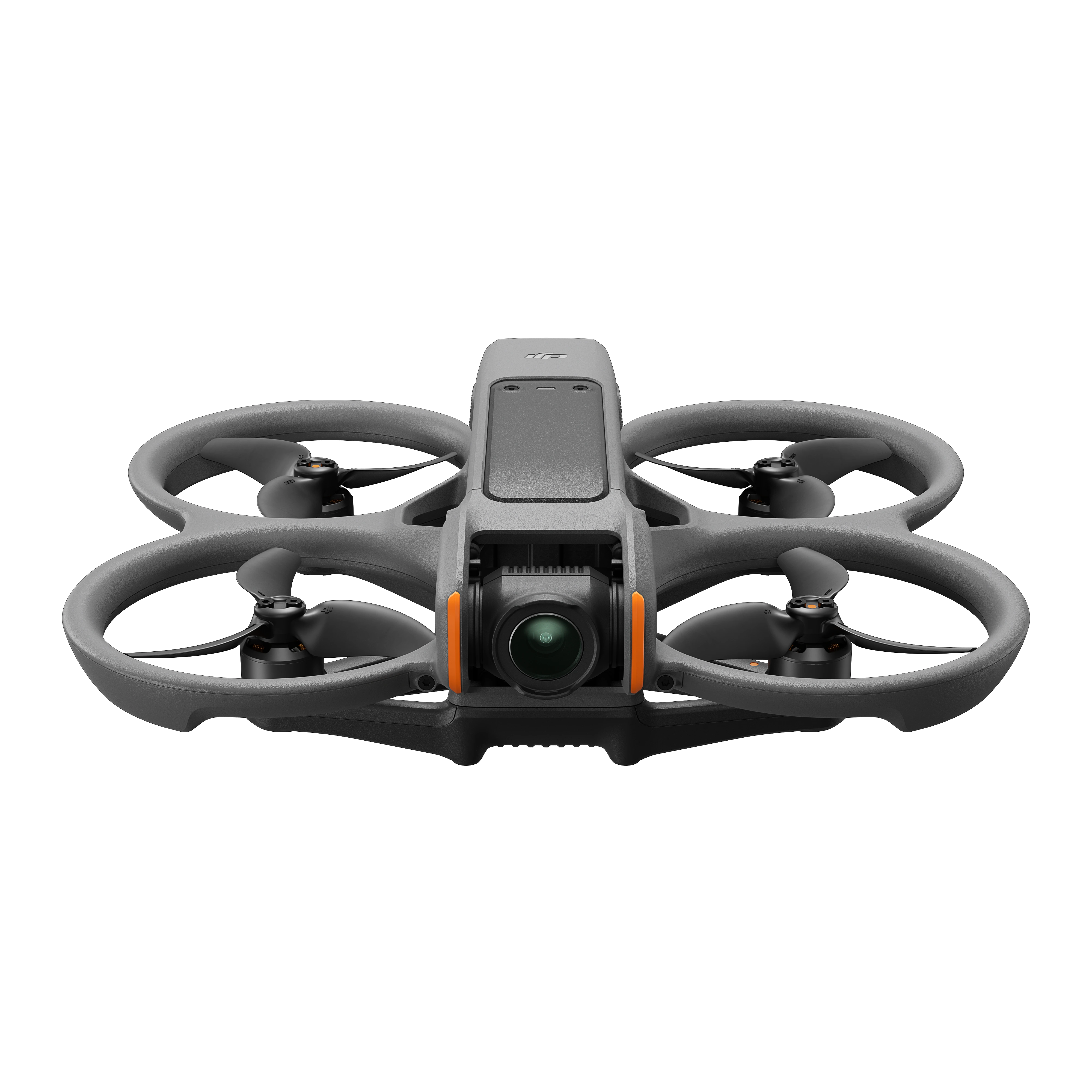
Enterprise Drones
Specialised drones built for commercial and industrial tasks such as agriculture, infrastructure inspection, delivery, and public safety. They offer robust build quality, advanced sensors, long flight times, and industry-specific software integration.
Accessories
Common accessories include extra batteries, propeller guards, carrying cases, ND filters for cameras, and landing pads.
Key Features to Consider
- Camera Quality - Look for resolution, sensor size, lens quality, and video capabilities such as 4K recording, HDR, and bitrate. Gimbal stabilization is essential for smooth footage.
- Flight Time - Typical drones offer 20-30 minutes flight per battery. Longer flight time means more shooting and less downtime.
- Range and Signal - Consider the maximum control distance and video transmission quality — crucial for commercial and long-range photography.
- Flight Modes - Features like GPS hold, Follow Me, Waypoints, Orbit mode, and Return to Home increase ease of use and creative potential.
- Obstacle Avoidance - Sensors that detect and avoid obstacles help prevent crashes and enable safer flying.
- Portability and Build - Foldable designs and lightweight materials improve portability. Consider durability for outdoor use.
- Speed and Manoeuvrability - Important for racing drones or dynamic filming styles.
- Controller and Connectivity - Check compatibility with smartphones, tablets, or dedicated controllers and app ecosystems.
- Battery and Charging - Look for spare battery options and fast charging capabilities for longer sessions.
Regulations and Safety
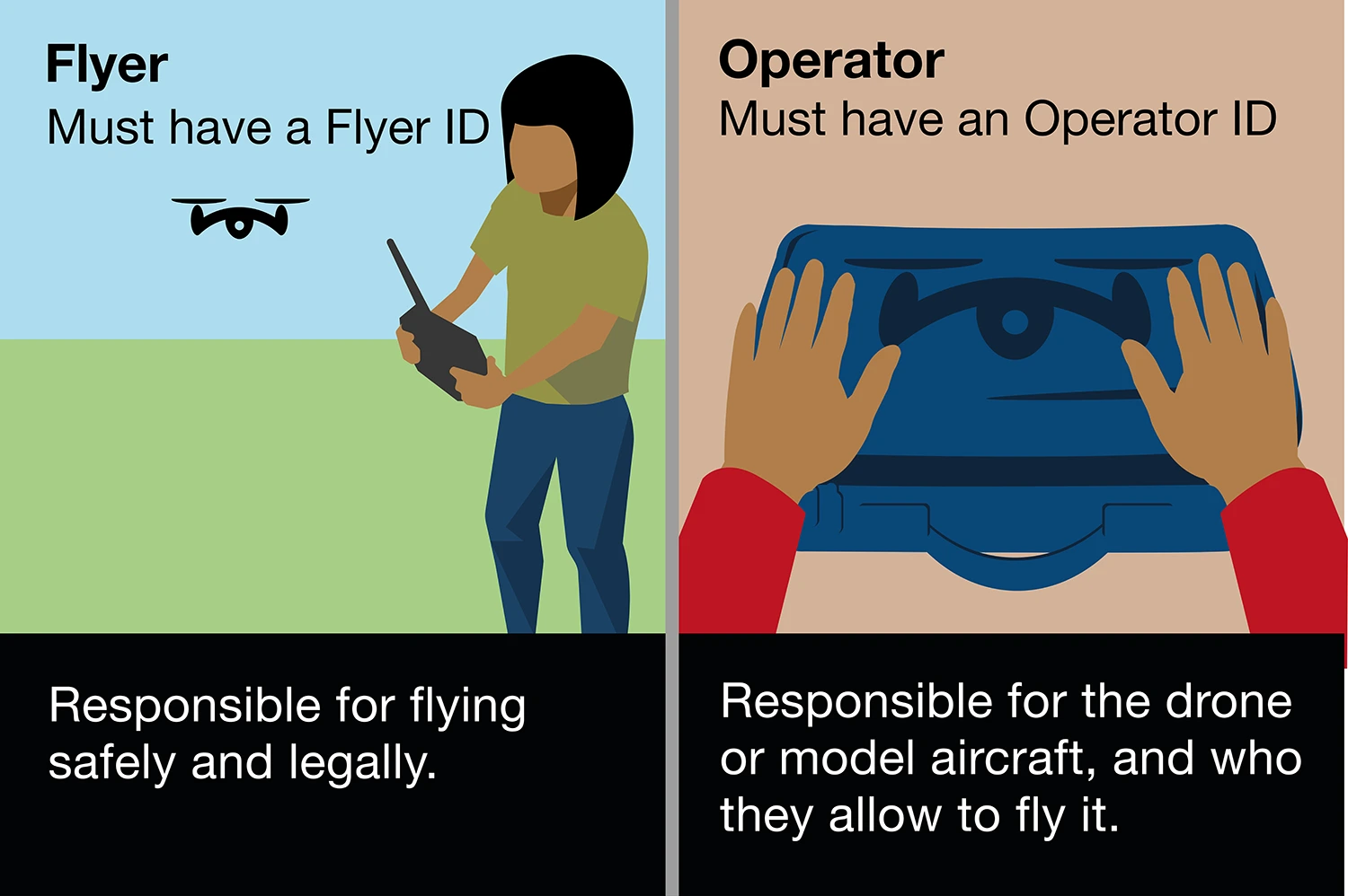
It is key to understand local drone regulations such as maximum altitude, line-of-sight flying, and no-fly zones. UK drone and regulations changed from 1st January 2026, so it is vital you know what you need to fly a drone legally - there are two IDs you may need before flying drones or model aircraft outdoors in the UK:
- Flyer ID – which shows you’ve passed the basic competence test
- Operator ID – which must be labelled on your drone or model aircraft
You may need to have both depending on your drones weight and whether it has a camera.
Registration Requirements
You must get a Flyer ID if you want to fly a drone or model aircraft that weighs 100g or above.
An Operator ID is required if you own or are responsible for a drone or model aircraft that either weighs 250g or above, or weighs 100g or above and has a camera.
Even though you do not need a Flyer or Operator ID to fly a drone or model aircraft that weighs less than 100g, you must still follow the rules of the Drone and Model Aircraft Code when you fly.
| Weight of drone or model aircraft | Class | Flyer ID | Operator ID |
|---|---|---|---|
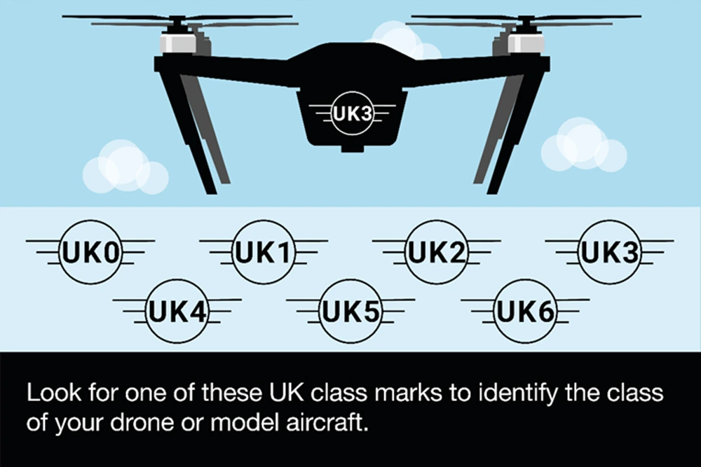
| 250g to less than 25kg | UK1, UK2, UK3, UK4 | Required | Required |
| 100g to less than 250g; with a camera | UK0 with a camera | Required | Required |
| 100g to less than 250g; without a camera | UK0 without a camera | Required | Required |
| Less than 100g | Not applicable | Recommended | Optional |
Register via the CAA website. If you have already registered it is mandatory to attach your Operator ID to your UAS/Drone.
Flyer ID
You must pass the CAA’s official theory test to get a Flyer ID before flying a drone or model aircraft cover by the regulations. It is recommended to carry a copy of your Flyer ID whenever you fly.
You are responsible for flying safely and legally whenever you fly.
Operator ID
The operator is the person responsible for managing a drone or model aircraft. This means they’re responsible for things like maintaining it and ensuring any remote pilot who flies it holds the necessary level of competence.
You must be 18 or over to get an Operator ID.
The operator is usually the person or organisation that owns the drone or model aircraft, but not always. For example, if you’re younger than 18 and you own a drone or model aircraft, you must ask your parent or guardian to register for an Operator ID. You’ll still be able to fly as long as you have a Flyer ID.
Limitations
CAA Limitation for all UAS/Drones flights in UK Airspace Max Operating Height 120m/400ft and Maximum Operating Distance of 500m/visual line of site.
Categories of Drone and Model Aircraft Operations
There are different categories of operations. The categories affect things like where you can fly, and how close to people and crowds you can fly.
Class Marks
A new framework for drone operation coming to the UK on January 1st 2026, follows a similar model to the EASA’s framework.
While legacy drones can continue to be sold, any new models from 1st January 2026 must have a UK class mark, from UK0 to UK6 class.
If you bought your drone or model aircraft before 1 January 2026, it’s unlikely to have a UK class mark. You can still fly your drone or model aircraft by following the rules in this Drone Code that apply to you based on the weight of your aircraft.
If your drone or model aircraft has a C class mark on it, the manufacturer has declared that it meets the European class standards. You can fly a C class drone as if it is the corresponding UK class drone until 31 December 2027. For example, you can fly a C1 class drone as if it is a UK1 class drone.
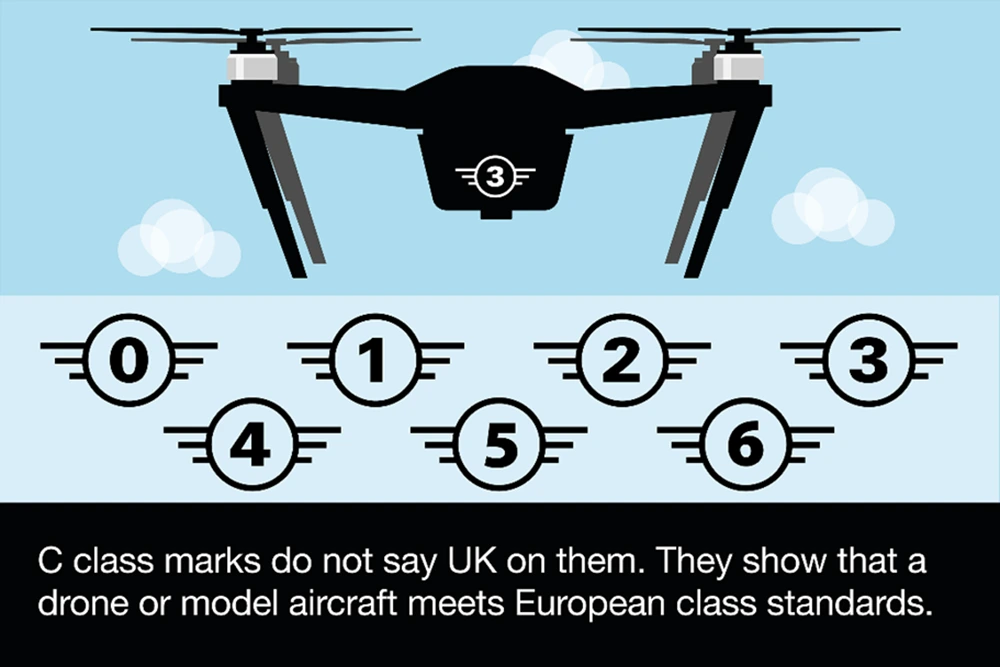
This Drone Code does not cover flying C5/UK5 or C6/UK6 class drones. You must get authorisation from the CAA if you want to do more advanced flying.
Flying in the Open Category
The Open category has three sub-categories. Each sub-category sets out the weight or class of drone or model aircraft you can fly and the distance you must keep from people.
| Sub-category | Weight or class of drone or model aircraft you can fly | Distance from people and places |
|---|---|---|
| Over People (A1) |
Less than 250g or C0 or UK0 or UK1 class. From 1 January 2026 until 31 December 2027, you can also fly a C1 class drone or model aircraft. |
You can fly closer to people than 50m, including people who are not involved in what you’re doing. You can fly over people, including people who are not involved in what you’re doing. |
| Near People (A2) |
UK2 class. Until 31 December 2027, you can also fly a C2 class drone or model aircraft. Less than 2kg and not UK2 or C2 class. |
You must not fly within 30m of people unless they’re involved in what you are doing, or you fly in low speed mode. If you fly in low speed mode, you can reduce this distance to 5m from people. You must not fly over people who are not involved in what you're doing. You must not fly within 50m of uninvolved people. You must not fly over people who are not involved in what you're doing. |
| Far from People (A3) |
UK2, UK3 or UK4 class. UAS that is privately built and less than 25kg. UAS that was placed on the market before 1 January 2026 and less than 25kg. Until 31 December 2027, you can also fly a C2, C3 or C4 class drone or model aircraft. |
You must not fly within 50m of uninvolved people. You must not fly over people who are not involved in what you're doing. You must not fly within 150m of residential, recreational, commercial or industrial areas. |
Additional Information
For more information about Drone Rules & Requirements please read here or contact Scan Pro Video for further information on Training Requirements.
Summary
This drone buyer’s guide highlights key drone types, from beginner toys to professional aerial platforms, and essential features including camera quality, flight time, obstacle avoidance, and flight modes. Considering factors like portability, speed, and controller options helps find the right drone for unique aerial needs. Awareness of regulations and investing in quality accessories ensures safe and enjoyable flying.
Choosing established brands and matching budget to purpose supports a smooth ownership experience whether for creative projects, racing, or recreational flying
Ready to Buy?
Browse our selection of Drones to find the perfect fit for your setup.