

AI & Robotics in Space & Earth Science | Scan AI Solutions
AI & Robotics in Space & Earth Science
Intelligent solutions delivering insight and improved outcomes for climate change and disaster response.
Transforming space research and climate science with AI and robotics
AI and robotics are used by organisations such as NASA, ESA and the wider space community to push the frontiers of space, lunar and solar research and develop new tools to help solve some of the biggest challenges that humanity faces today. Key applications in use on Earth and embedded in satellites include:
Tackling Climate Change
AI helps climate science by processing massive datasets from satellites, sensors, and climate models at unprecedented speeds. This accelerates complex simulations, helping to forecast extreme weather events and track environmental changes such as the rate at which glaciers melt, how clouds develop, deforestation and land-use trends, and the optimisation of renewable energy.
Improving Disaster Response
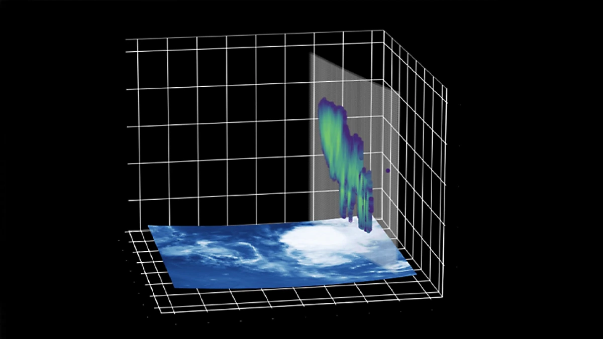
AI is being used to develop multimodal foundation models built on previous and current datasets collected from satellite-based sensors. This accelerates the study of previous natural disaster events such as wildfires, hurricanes and flooding, in order to advance early warning systems, estimate damage patterns and costs, and better coordinate search and rescue missions.
Mapping & Exploration
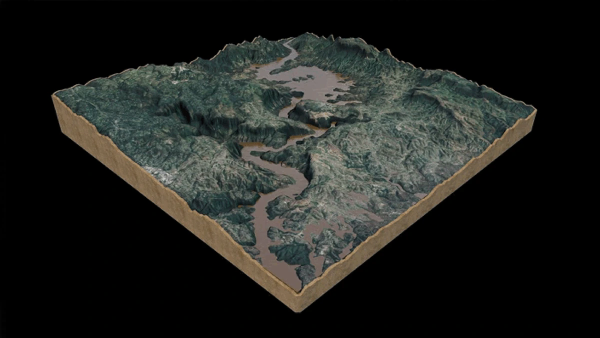
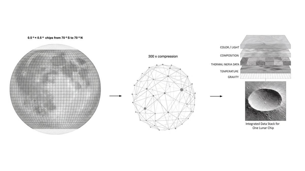
AI can be used to automate land use, land cover and lunar surface mapping by processing satellite, aerial, and drone imagery. Machine learning models identify features such as buildings, forests, water bodies or craters. This helps generate detailed, accurate, up-to-date spatial maps, track environmental changes over time, or help plan moon missions and exploratory expeditions by autonomous robotic vehicles.
Predicting Space Weather
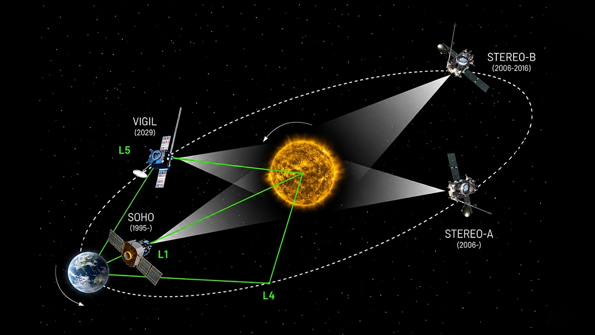
AI models can process real-time solar imagery, solar wind data and satellite measurements to forecast solar flares, geomagnetic storms, and radiation shifts that impact our power grids and satellites. The better these prediction systems are, the more likely we are to get days instead of hours in order to plan for possible disruptions.
Guidance for responsible space and earth science AI adoption
AI widespread implementation can face significant hurdles, including high financial costs and the need for specialised equipment. Scan helps mitigate and reduce these risks: as an NVIDIA Elite partner and NVIDIA DGX Managed Service Provider, our professional services team is ideally placed to advise and guide you on the most appropriate AI systems and software to cope with the large datasets and foundation models needed to accelerate your research.
Speak to an expert
Discuss your space AI and robotics requirements with Scan's specialist team.